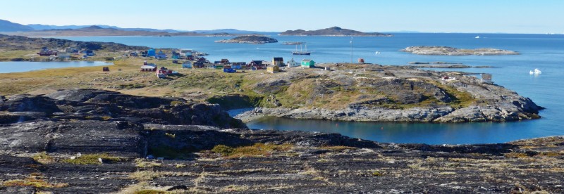
In order to fully appreciate Greenland’s nature, I joined a 10-day ‘hike and sail’ trip in Disko Bay area and the Umanak Fjord on board s/v Rembrandt immediately following an 18-day trip from Aasiaat to Thule. I sailed 699 nautical miles and had eight lovely hikes which have brought me to remote parts of Greenland.
Day 1 August 24 Monday: Aasiaat
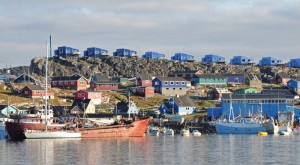
I had to find something to do in Aasiaat before re-boarding s/v Rembrandt at 4pm. No problem. I strolled in the small town centre looking at two supermarkets and brought a pair of hiking boots with good insulation and a new pair of warm gloves from a local shop with a nice range of stuff for the cold climate at reasonable prices.
 |
 |
 |
 |
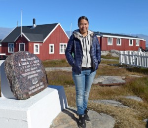
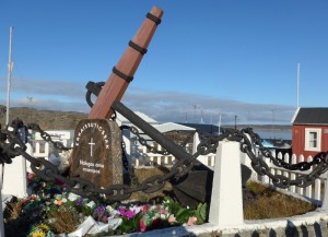
I also spent a while in the museum where I met a nice young girl Kriston who speaks good English. She is going to Nuuk to continue her higher education. Here, I learn a bit more about the history of Aasiaat which was founded as a trading post between colonies Sydbay in the south and Christianshael in the north to prevent Dutch whales from trading with the population. She took me to see an old peat house and another relative modern house once belonging to a Danish family.
 |
 |
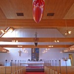
We then went to see the church. She also suggested me visit the town hall to see the paintings by a famous German painting. I went to the town hall and looked at the wall paintings. I am not impressed and still do not know the name of the painter. I also spent over two hours on internet at the seaman’s hotel.
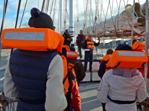 At 4pm, I happily got on board s/v Rembrandt, my floating home for the last 18 days. This time, I had Cabin 17 for myself enjoying the luxury of space and privacy for a change. We had 24 passengers from eight countries including 12 German, three Russian, two Australian, Austrian and Dane, a Swiss and a Belgian. The eldest passenger is 86 and the youngest is 28. There are many retirees and I am the 11th oldest person on board!
I had to go through the same routine again: greeting by Captain Sven and meeting the crew and expedition guides, Jordi and Denis followed by safety drill. We set sail at 6pm and had our first dinner at 7pm. I sat on the table with Randi and her mother Ann from Denmark. Everyone looked ready for a happy time and laughter filled the small dining room. We had a nice sunset. The boat reached and dropped anchor in a small bay south of the small settlement of Ilimanaq near the Jakobshavn Isfjord around midnight. Without engine noise, I had an excellent sleep.
Day 2 August 25 Tuesday: West Disko Bay – Ilimanaq & Southern shores of Jakobshavn Isfjord; Noon Position 69º 04.6’ N 051º 07.4’ W at anchor in Ilimanaq; Air Temperature: 2.5º -6.5ºC; Weather: Clear and sunny weather all day
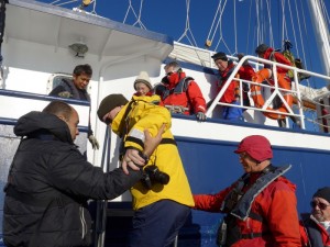
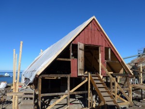
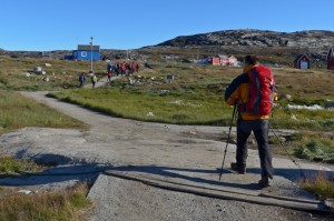
I had a fantastic day: the weather was perfect, sunny and warm. After two more mandatory briefings on code of conduct ashore in Arctic regions and zodiac operation, we were ready to go ashore. The zodiac dropped us at a small jetty between smooth rocks in the settlement of Ilimanaq (or Claushavn). This area close to the southern mouth of the Ilulissat (or Jakobshavn) Isfjord, was an active whaling spot from 1719 to 1732. Then the settlement was founded in 1741. Today only about 80 inhabitants live here. However, I can see signs for change: two old historic houses are under restoration and several self-contained units facing the Bay are under construction. Soon some tourists can stay here instead of the touristic town of Ilulissat.
We were all eager to take our first hike and had two options: a full day hike with pack lunch led by Jordi or two short leisure walks with Denis. I was in desperate need of exercise and followed Jordi together with 18 other passengers.
 |
 |
 |
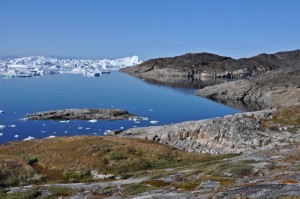 |
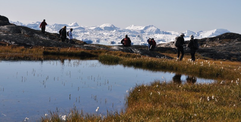
Jordi’s plan was to take us to the hills that frame the southern side of the Jakobshavn Isfjord. We sped through the tiny town and headed straight to the hills. I could not remember how many valleys we had to cross before reaching the edge of the fjord. On our way we saw several very old stone fox traps and old Thule graves. In some of the graves we could even see human skulls and bones. After walking for a couple of hours, we entered the protected area close to the mouth of fjord, which I have seen from the other side on August 10 with the previous group.
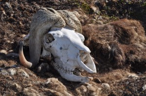
We worked our way northwards going up an endless succession of ridges and hills. But we were still in no way at the edge of the fjord. Then we saw a dead musk ox with lots of its wool and a clean skull. Jordi guessed it might have been shot by a hunter during last season. Suspecting there might be musk ox in the area, he started his pursuit of this animal. Just before reaching the last hill which overlooks at the Jakobshavn Isfjord, Jordi finally found two musk ox grazing and resting on the green valleys between the rocks!
 |
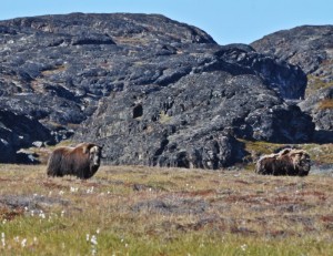 |
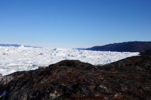
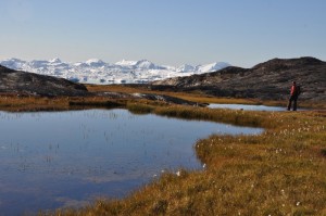
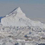
We had to be dead quiet in order not to scare them away. These two are not as shy as the group I saw during the last trip. We have been most lucky as sighting of musk ox in this area of West Greenland is rare. Soon after our exciting encounter with the musk ox, we reached the first great lookout point with a magnificent view over the Kangia Ice Fjord fed by the Kangia glacier (Jakobshavn glacier) which is the most productive glacier in the northern hemisphere. It is possible to extend the walk for a few hundred meters parallel to the ice fjord. Here we had a lunch break. I sat in silence enjoying the breathtaking landscape.
 |
 |
 |
 |
 |
 |
I could easily spend hours sitting here listening to the wind and looking at the emptiness and grandeur of nature. But we had to move on as we had to reach a beach a few kilometres away to board the zodiac.
As expected, people walk at different speed and I am often the slowest in a group. We had two very fast hikers in the group who charged ahead. As it is not an area with polar bears, it is desirable but not essential to walk closely together. So a few walked on their own along the ridge while Jordi took a path along the valley. He spotted another musk ox, just when Denis’s group pooped up over the hills nearby. We were super lucky to see these animals twice in a single day! The first hike is relatively easy and most enjoyable. I was back on the boat just before 5pm.
 |
 |
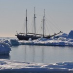
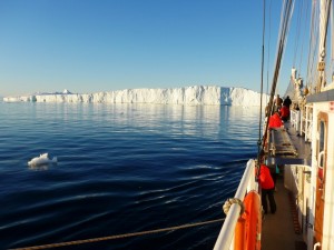
We started our way north towards Eqip Sermia where we hoped to land the next day. Our boat took almost an hour to pass the iceberg front of the Jakobshavn Isfjord. These icebergs, gigantic and small, were be drifting northwards which means the Captain and the crew had to take extra care to sail around all this ice in the coming hours,. At some point, we also had to cross between the icebergs to get into the Aata Sound, the fjord leading to the impressive glacier Eqip Sermia. The plan was to drop anchor during the night in a cozy little bay close to the landing site and to start the engines at 7am to do the final approach.
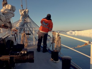
After dinner, many of us stayed on deck to watch awesome landscapes and sunset while the Captain was steering most skillfully amongst the obstacle path. We also saw a big moon (but not full) rising over the icebergs. What a fantastic beginning of our trip: warm and sunny day, stunning and beautiful land and ice-scape, viewing of musk ox, impressive sunset and moonrise. During the debriefing session, Jordi asked whether he should call us to deck in case of appearance of Northern Lights. We all gave an astounding ‘YES’.
At 1:30am, Jordi announced through the PA system the arrival of Northern Lights. I immediately put on warm clothes and rushed up to the deck. I saw light-coloured lights moving above low-lying hills around the Ata Sound. There were reflections in the glassy water too. Unfortunately, the sky was still too bright to bring out the colours. The phenomenon lasted only a few minutes as the sun already started to rise.
I was not disappointed as it was already a bonus to see Northern Lights at this time of the year at such high altitude. What an incredible day!
Day 3 August 26 Wednesday: Ata Sound – Eqip Sermia & Ata Bay; Noon Position 69º 45.5’ N 050º 53.8’ W at anchor in Ata Sound; Air Temperature: 3º – 9.5º C; Weather: Clear skies and sunny weather
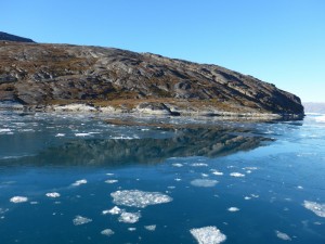
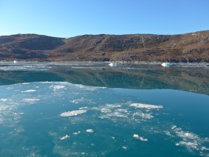
The original plan to approach the southern shores of the Eqip Sermia glacier was unworkable: there was too much brash ice around the boat. New sea ice was also growing from the head of the fjord and filling up the whole bay. The Captain and his team worked very hard to get us as close to the glacier front as possible. It was amazing to watch the boat crashing through the new sea ice: the sound and ice-scape remind me of my days in the Antarctic earlier this year.
 |
 |
 |
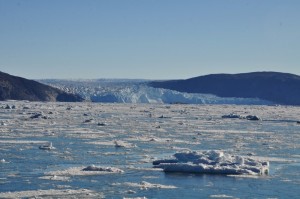 |
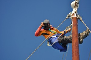
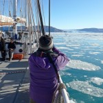 We had to stop a few kilometres from the glacier front. Anyway, all of us were excited as this scenery was unexpected: we had a truly and incredible polar experience! Jordi climbed up the main mast (as swiftly as a monkey) to take some awesome photos. The boat returned to Ata Bay, the same place where we spent the night.
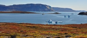
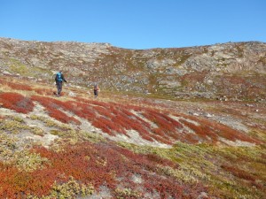
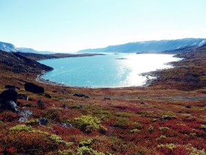
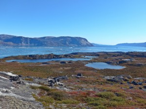
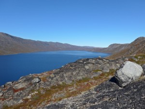
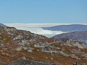
After lunch, we went ashore and I followed Jordi for a 4-hour hike covering the whole rim of Ata Bay. The colourful tundra was decorated with hundreds of erratic blocks transported by the glaciers and left behind after the ice melted during the last 15000 years. I had good views of the Eqip Sermia glacier and the head of Ata Sound, when almost reaching the end of the walk. We then found our own way down walking over the tundra and some steep slopes. Our zodiac was already waiting in a beach on the northwestern shore of the bay.
Denis told us during debriefing that we had been walking on top of Archaean Granites almost unaltered by metamorphism for the last 2.8 billion years. It had only been smoothed down by the action of the glacier that once were covering the whole area.
 |
 |
 |
 |
 |
 |
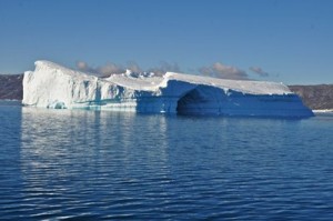
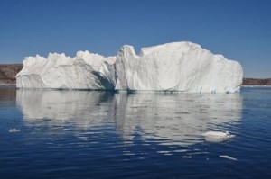
Once everyone was on board, we heaved anchor starting our way southward along the Ata Sound. Then we turned west to get into the Vaigat Strait. Here we crossed three Fin whales which disappeared as fast as they appeared. The sun was getting lower over the horizon providing a gorgeous setting for sunset photos with icebergs and moonrise. Then a couple of Humpback whales arrived: the boat slowed down so that we could enjoy the viewing for a while. Later on I saw on two occasions a tiny fin above water. A whale? It was too dark and too far to say for sure.
 |
 |
 The ice condition and growing darkness were tricky for navigation. Captain Sven decided to head to the east coast of Disko Bay and sail close to the shallow waters, where there were less icebergs. He planned to motor slowly throughout the night to reach the Tartunaq area, south of the Nugssuaq Peninsula, for a landing the following morning.
Day 4 August 27th Thursday: Vaigat Strait (Tartunaq) – sailing to Umanak Fjord; Noon Position 70º 03.9’ N 052º 21.3’ W at anchor in Tartunaq; Air Temperature: 5º – 6º C all day; Weather: Sunny and clear skies during the first half of the day; cloudy and overcast in the afternoon and night
By the time I woke up at 7am, the boat was already in a small bay west of a small peninsula (Kangerup Nuua – Tartunaq) located at the northern shores of the Vaigat Strait that separates Disko Island from the Nugssuaq Peninsula. Before disembarkation, Jordi told us this would be a good spot for a polar dip. I therefore got prepared and put on my swim costume.
 |
 |
 |
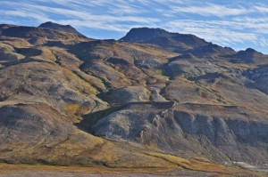 |
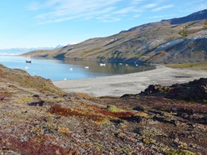
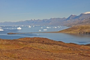
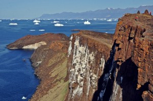
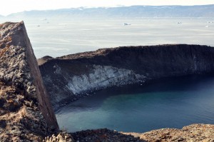
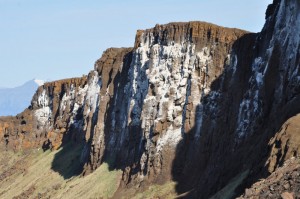
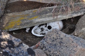
We landed at a lovely long sandy beach. Jordi led the party at the front while Denis stayed at the back. We walked uphill stepping on the tundra covered with beautiful flowers with morning dews. Soon we reached the top of the cliff affording excellent views over the magnificent Vaigat Strait. In addition, we found some cormorants on the basaltic cliff walls. A bit further up, we reached some heaps of stone: graves from the Thule culture. It is possible without moving the stones to look inside the graves or at least parts of the graves. I saw skulls and bones in a couple of graves. Of course, we respected the deceased and did not step onto or touch the stones.
 |
 |
 |
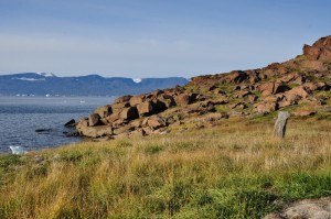 |
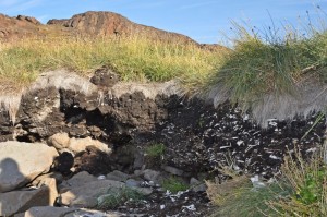
We then started to descend to an old Thule settlement located on a flat area a few metres above the sea level. Foundations of the turf houses can still be seen. The most interesting remain is the kitchen midden with accumulation of bones of the animals that the Thule people had been eating here for hundreds of years.
 |
 |
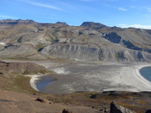
Denis explained that the geological significance of the area composed of 65 million years old basalts with intruded sediments of around 100 to 150 million years old following eruptions related with the opening of the North Atlantic that separates Canada from NW Greenland. At the end of the walk, I joined a few crazy passengers for a polar dip. I waded slowly into the icy water and was not comfortable to get in. Others were already swimming around like a fish. As the last zodiac was coming in and the others all had their swim, I picked up my courage and dropped my whole body in the freezing water. I got up possibly in less than a second’s time, put on my clothes before getting into the zodiac.
I did not feel cold but something strange happened: the person sitting opposite me was blur. I thought my glasses must be damp. But by the time I got back to the boat, I still had this blur vision. Fear slowly crept in and I had to walk slowly with one hand on the rail. I got to the bar and sat opposite DJ who was working behind his desk. He was blurred too. What had happened? Had the icy water damaged the optical nerve? I had a swim in the Arctic Ocean ten years ago without problem. I am older now and perhaps my body can no longer take the shock.
After about ten minutes, I was glad to find DJ in focus again. I was relieved and had a hot chocolate. I must tell my doctor about this experience so that he can explain what has happened.
Somehow I still felt weak and exhausted. I returned to my cabin and covered myself in a warm quilt. I took a nap and did not get up till DJ’s lunch announcement.
I had a lazy afternoon and skipped Denis’s lecture on Wegener in the afternoon and the documentary on his exploration in the evening. Instead I spent the time reading a book ‘Last Places – A Journal in the North‘ by Lawrence Millman, who took a 4-month journey along the ancient Viking sea routes to hunt down the viking destinations that extend from Norway to Newfoundland. He flew from Boston to Bergen, Norway when he took a steamer to Lerwick, capital of the Shetland Islands and then to Foula before going to the Torshavn, Vágar and Mykines in the Faeroes (a group of 21 volcanic islands) and Reykjavik, Hell, Grimsey and Isafjordur in Iceland. Then he had to fly to Narsarssuaq, Greenland in order to go Igaliko (which was Viking’s Vatican City), Qaqotttrtoq, Disko, Nuuq, Kangerlussuaq- Kulusuk-Angmagssalik, Blomsterdalen, Qernertuartuarssuit, Salissaq, Sermiligaq and Qianarteq. He flew from Nuuq to Frobisher Bay on Baffin Island with the aim of going to Goose Bay before reaching the Porcupine Strand (which his Viking predecessors called the ‘Wonderful Garden’). He went on to St Anthony, capital of the Great Northern Peninsula of Newfoundland and Lambarence of the North in order to drive to L’Anse aux Meadows to visit a descendent from one of the several Scandinavian whom the missionary Dr Grenfell brought over in 1908 to herd his reindeer. He is a good story-teller and I find his extensive travel in Greenland particularly interesting. I hope to see some of the places mentioned in his book one day.

