TMB: Day 5 – Day 10 Champex-Lac to Pontet August 9 – 14, 2017
 |
 |
Day 5 Wednesday: Champex-Lac – La Fouly: First Hiking Day (14 km; 540m up & 440m down)
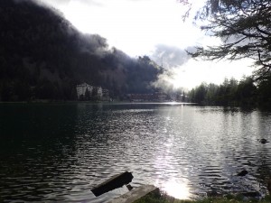
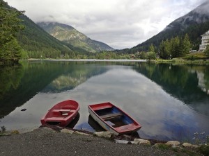
As usual I could not sleep well and got up before 6am. I got better in organising my bags and packing up. I still could not pack my tent without help from my friends. We were lucky with the weather today. The walk was easy and pleasant. First, we walked along the lake side – beautiful with reflections and sun rays.
 |
 |
 |
 |
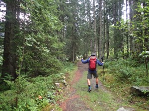
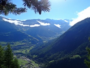
Then we had a pleasant downhill stroll through woods of Val Ferret to Issert (1055m), a village by the road for morning tea. Most of us took our boots and wet clothes off and got them dry without problem.
 |
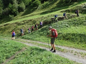 |
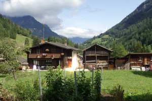
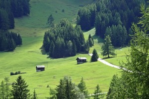
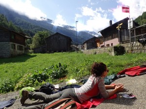
After Issert, we began a gradual ascent passing through a few lovely villages. Praz de Fort is most charming with many old wooden barns.
 |
 |
 |
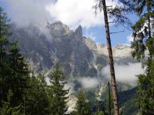 |
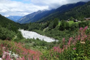
We had our sandwich lunch by a river. Afterward, we walked uphill all the way to La Fouly (1600m) sitting at the foot of Mont Dolent (3823m) and the Tour Noir (3836m). Views of the Mont Blanc massif with glaciers soaring behind our campsite are impressive.
 |
 |
 |
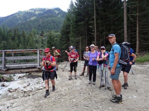 |
It was only 3pm: we had a relaxing afternoon. I had a hot shower and felt great. My knees and hip seemed fine after an easy walking day. While I had tea and fruit in a comfortable dining room with Wi-Fi and a fire, it started to rain again. Tonight, Matt prepared duck for dinner. Most delicious! It rained heavily throughout the night.
Day 6 Thursday: La Fouly – Orsière – St Bernard Hospice, Switzerland – Aosta, Italy – Courmayeru – Grandes Joraesse Campsite, Planpincieu (All by Bus)
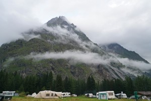
I managed to pack my tent with Jayne’s help when it stopped raining for a short while. Jim had encouraged me to hike with the group today. But the heavy rain throughout the night and the poor weather forecast put me off. My hip and knee problem gave me a convenient excuse not to walk in foul weather. I was not alone and was joined by Deniz who had a cold, Ed and Francis.
 |
 |
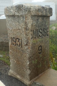
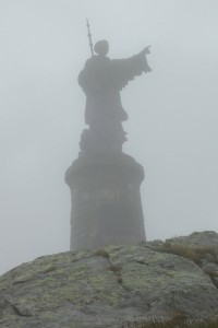
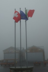
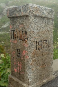
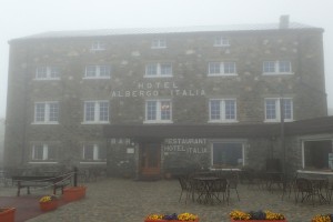
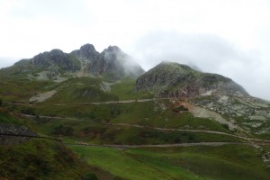
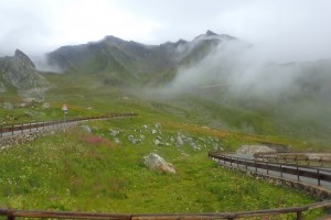
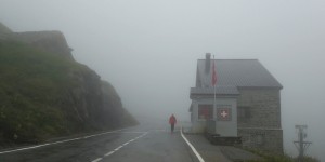 We took the 8:30am bus to Orsière (CHF8.40) and another bus (CHF16.60) to St Bernard Hospice at 2469m. I looked at the landscape through mist and rain. When we got off the bus, we could hardly see beyond 10-20m. All I know is that the monastery was first established in 1049 by an Augustine monk St Bernard de Methon and there is a museum on the St Bernard dogs. It was so cold and miserable that we decided to walk to the Italian side before taking a hot coffee.
It took less than 10 minutes to reach the Italian side. We went straight to the hotel next the bus terminal. The bar was nice and warm and I had a coffee for only €1,50. There are many old photos and paintings of the area which looks stunning. I must return one day. Our bus to Aosta left at 11:30am. We were taken by surprise when the driver told us to pay €3,50. The fare is unbelievably cheap: things are much more affordable in Italy!
 |
 |
 |
 |
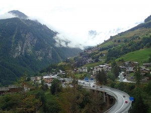
The weather in the Italian side was totally different: sunny and hot. The scenery from Great St Bernard Pass to Aosta is impressive. By the time we arrived at Aosta after 12:30pm, it was so hot that I had to take off my rain pants and down jacket. Everyone was wearing short-sleeved t-shirt. While Deniz, Ed and Francis decided to take the 12:45 bus to Courmayeur, I preferred to spend sometime exploring this Roman town totally unknown to me. This is the joy of travel.
 |
 |
 |
 |
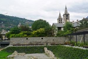 Aosta, the principal city of Aosta Valley, is a bilingual region in the Italian Alps.Settled in proton-historic times, it later became a Roman colony of Augusta Praetoria Salassorum housing 3000 retired veterans. After 22 BC, it became the capital of the Alpes Graies (“Grey Alps”) province of the Roman Empire. Its military and strategic importance owed to its position at the confluence of two rivers at the end of the Great and Little St Bernard Pass. Since the fall of the empire, it was conquered by Burgundians, the Ostrogoths and the Byzantines. It was later annexed by the Lombards and the Franks. After 888 AD, it became part of the renewed kingdom of Italy. In the 10th century, it was part of the Kingdom of Burgundy and then the lands of Count Humbert I of Savoy.
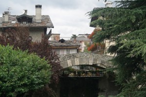
The city boasts many Roman remains. The ancient town walls of Augusta Praetoria Salassorum standing at 6.4m high are still preserved almost in its entirety. The walls are nearly 2.75m thick at the bottom and 1.83m at the top. Two out of its four gates are intact while six out of its 20 towers are still well preserved. A Roman theatre (81 by 64m) dating from the late reign of Augusta with seating capacity for 4000 is still used for cultural performances.
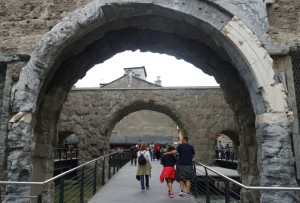
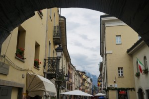
I entered the main street from the Porta Praetoria (1st century AD) which was the eastern gate to the city. It’s a double gate with three arches flanked by two towers. I walked along the main street at the end of which stands the Arch of Augustus built in 25 BC. I walked further to take a look at the Roman bridge built at the end of the 1st century BC.
 |
 |
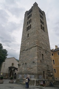
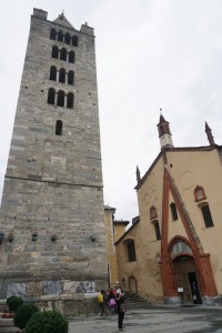
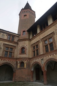
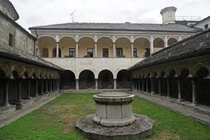
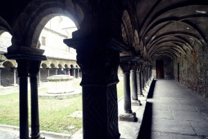
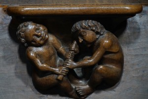
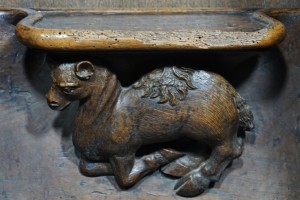
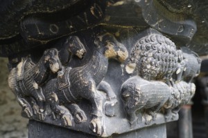
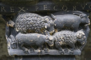
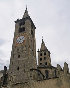
I returned to the main street and made a stop at the Saint Orso Collegiate Church built in the 11th century on the remains of an earlier Christian building. What I like most is the Romanesque cloister built in 1133 with impressive sculptures on the white marble columns depicting biblical scenes from the new testament, fables, ornamental decorations as well as episodes from Saint Orso’s life.
 |
 |
 |
 |
 |
 |
 |
 |
 |
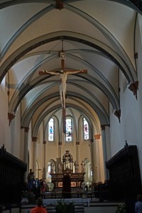
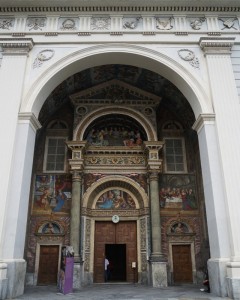
I love to buy a combined ticket (€7) to visit four sites (Roman Theatre, Mar-Regional Archaeological Museum, Forum Cryptoporticus and Paleochristian St Laurence Church). But as I had to catch two more buses to go to the campsite, I had to hurry. I walked to the other end of the main street to visit the cathedral which has some amazing mosaics on the floor.
 |
 |
 |
The main street is lined with cafes and eateries and a wholesome lunch with wine would be fantastic. But as I was interested in sights than food, I skipped lunch. All I had was two scoops of ice cream for €2,50. The portion was so generous that I should have enough fat and calories for the day!
I rushed to the bus terminal thinking the bus would leave at 3:15pm. Unfortunately after 3pm, there is only an hourly bus at 45 minutes pass the hour. I sat on the bench wasting 40 minutes. Fortunately, I met an Italian lady who was also early: we had a wonderful chat. She told me about the valley and its history, wine and food. Her son has worked in Hong Kong and she is interested in its latest development and future. The valley is dotted with castles, vineyards and picturesque villages. Morgex is the centre of wine production in the valley. I had an hour-long scenic ride through the valley.
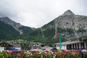 I caught the 5:20pm bus from Courmayeur to the Grandes Jorasses campsite (€2). I spotted the Exodus green van as soon as I stepped off the bus. The campsite resembles a holiday village with dozens of motor homes and camp vans.
I asked my friends about their day. Apparently, it rained as forecast and it was cold and wet. My friends descended into Italy after passing the Grand Col Ferret (2537m) and they took a bus from Arp Nouva to the campsite. The weather improved as they descended into the Ferrat Valley. By the time they arrived at the campsite, they had sunshine and a blue sky.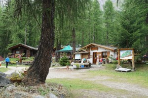
We had a large tent as our dining hall. Matt ordered 11 pizzas from the camp operator. I am normally not keen about pizza and potato salad. But Matt’s warm potato salad with herbs and the pizza were surprisingly delicious. I also two glasses of red wine. Fortunately, the weather forecast for the night was wrong: there was no heavy rain. As it was relatively dry and warm, I had a good sleep.
Day 7 Friday: Rest Day
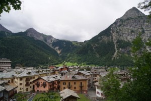
I did not get up till 7:30am. What a luxury to be able to stretch out on my mattress in my tent! The weather forecast was wrong again: we did not have heavy rain though it was cloudy. I had a leisure day and did not take a bus to Courmayeur till 12:30pm. I was able to upload trip notes on my stay in Switzerland from August 1 to 4.
 |
 |
 |
 |
 |
 |
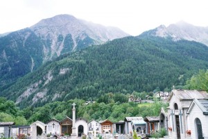 |
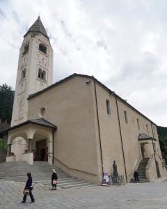
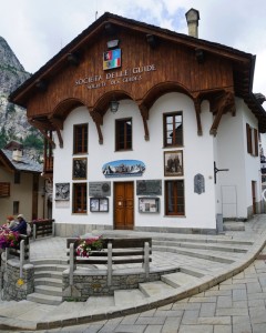
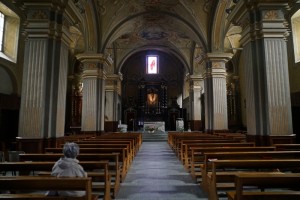
The return fare is €3,50. It’s a chilly day with the temperature around 15ºC. I strolled around Courmayeur looking at shops most of which were closed for lunch. The Parish Church of the Saints Pantaleon and Valentine is impressive with beautiful paintings on the ceiling. I had three scoops of ice cream to my heart’s delight (€3). I walked across the river when it started to drizzle. So I returned to the campsite around 3:30pm. We had a night out in a nice restaurant nearby. I had steam fresh trout from the river and local wine for dinner (€20). Light and most delicious!
Day 8 Saturday: Hiking – Planpincieu to Arp Nouva; bus to Courmayeru – Aguilles Noir (est 10km; 600m up & 500m down)
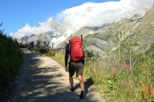
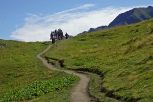
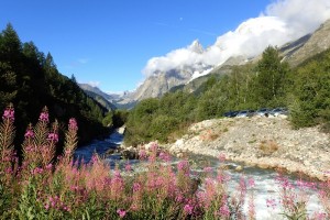 The original plan was to catch a bus around 9:20am to Arp Nouva where we would take a 14km-hike along Mont de la Saxe to Courmayeur with an ascent of 500m and a decent of 900m. But the 9:20am bus was jam-packed and we could not get on. As a result, we changed plan and hike in reverse: we walked from Planpincieu to Arp Nouva.
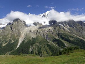
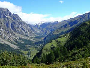
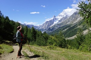
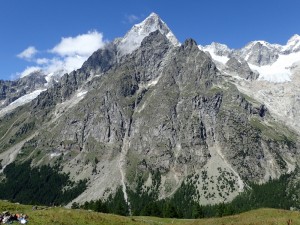
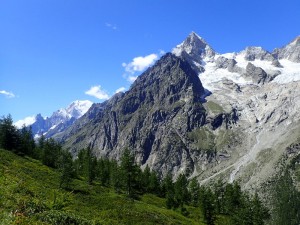
The weather was excellent and we had a fun and leisure walk following a beautiful contouring path around Mont de la Saxe which offers fabulous views of the peaks of the Grandes Jorasses and glaciers. At a historic hut which is now a popular eatery for hikers, we sat on the grass enjoying the most stunning and majestic view of the south Mont Blanc massif including Mont Blanc, Mont Dole (3823m), Les Grandes Jorasses (4208m) and Dent du Geant (4013m).
 |
 |
 |
 |
 |
 |
  |
 |
 |
 |
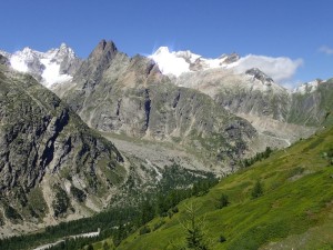 |
This’s my most enjoyable hiking day: I find the walk relatively easy and the views impressive and stunning. We arrived at the bus terminal at Arp Nouva and caught the 3:30pm bus to Courmayeur. As the bus to Val Veny had just gone, we had to wait till 5:15pm.
We had ice cream in the main square next to the church. On my way to the bus terminal, I ran again into my Italian girlfriend. Unbelievable! We exchanged contacts and she invited me to visit her in October.
The Camping Aguilles Noir is nice. I had a 30-minute back massage (€20) (I was happy to take an hour for €35 but she had to go home after 8pm). I had a great day!
Day 9 Sunday: Hiking- Aguilles Noir to La Ville des Glacier; Bus to Les Chapieux (est 20km; 990m up & 970m down)
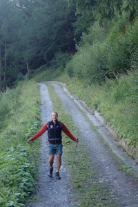
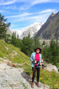
We set off around 8:30am and spent over an hour walking to the entrance of a nature reserve area. (One can reach the entrance with public transportation. If I were on my own, I would have taken the bus!) Anyway, the mountain path along Val Veny has given me an opportunity to fully appreciate the soaring peaks and full views of Val Veny, Val Ferret and the massif in beautiful morning lights.
 |
 |
 |
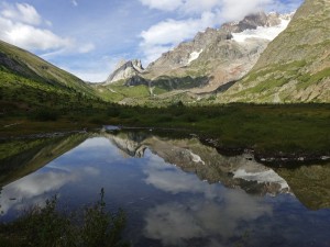
Unfortunately, there were too many people and cars parked on the road near the entrance. We followed the well marked Via Val Veny with beautiful scenery: wetland, soaring peaks, wild flowers, flowing streams, small lakes and ponds.
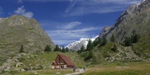
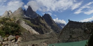
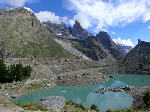
We had a nice break at Lac Combal in front of the massive glacier Du Miage. It is a 10-minute hike to the top for panoramic views of the glaciers above and two moraine lakes below.
 |
 |
 |
 |
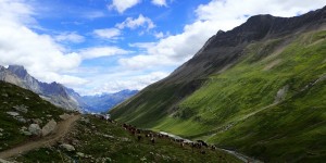
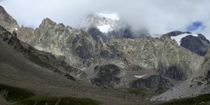
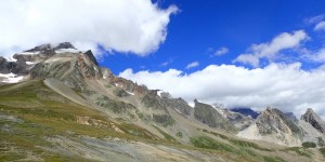
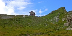 Then we followed the old Roman road. It took me about two hours to reach La Casermetta at 2365m (a former French customs house) which is now a cross-border environmental education centre with a model and information on land formation, flora and fauna of the area. The European Alps arose as a result of the collision of the African and European tectonic plates. The mountains are made of limestone, formed from sediments deposited in the ancient Tethys Ocean basin about 200 million year ago. The intense tectonic forces created massive recumbent folds in the limestone, called ‘nappes’, which were then carved extensively by glaciers over the past 2 million years. Crystalline basement rocks are the rocks forming Mont Blanc, the Matterhorn and high peaks in the Pennine Alps in Austria. (Source of information: montblanctreks.com.au).
 |
 |
 |
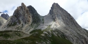 |
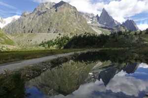
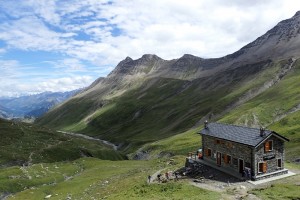
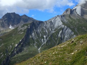
While having my sandwich, I enjoyed unrivalled views of the massif, the valley and the mountain ranges on the Italian side. I could see the visible difference between the rocks forming the Mont Blanc massif on the left and those on the right.
 |
 |
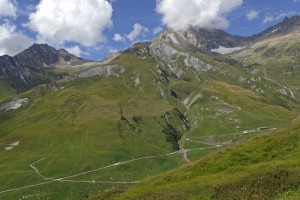
Soon after 1pm, we continued our climb and reached the Col de la Seigne (2512m), the border between France and Italy. From here, we walked downhill all the way with fantastic views of the Valley of Glaciers (1789m) on the right side.
 |
 |
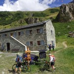
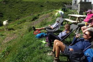
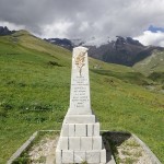
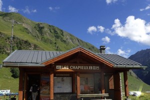
I arrived at the Bellevue before 3:30pm. My friends who walked ahead had already basked in the sun for 10 to 30 minutes. They all had time to enjoy a drink and a piece of cake. Around 3:45pm, Jim told us to move on as we still had to walk 20 minutes to the bus stop. We took a bus at 4:20pm to Les Chapieux which is surrounded by mountains on three sides. As Matt had to return to the UK for a family occasion for a few days, Mark who runs the Exodus operations in Switzerland, took over for two days.
 |
 |
 |
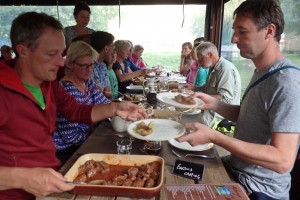
It’s hot and there is no show facilities in this campsite. I was sweaty and decided to take a glacier bath in the river. The water was surprisingly warm: Jeremy, Deniz and I had a fun time. Then we had a delicious dinner in the restaurant with pig cheeks! Unfortunately, owing to light and sound pollution emitted from other campers, I did not sleep well.
 |
 |
Day 10 Monday: Hiking- Les Chapieux to Pontet Campsite (17km; 930m up & 1375m down)
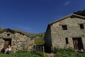
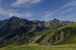
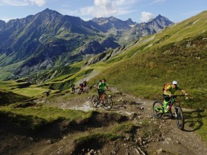
As we expected a long and tough day, we all got ready to go after 7:30am. We had fantastic weather: sunny and warm. It’s a long, steady and steep climb of some 900m. I walked at my own pace steadily and was never out of breath. I was relieved when I finally arrived at the refuge at 2438m around 10:45am. For the first time, I had a reasonably long coffee break where I could take time to soak in the atmosphere. The 360º views of the French mountains are fantastic too.
 |
 |
 |
 |
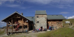 We walked some 30m up to reach the Col de la Croix de Bonhomme (2479m). Unfortunately, the battery of both my camera and phone were exhausted. I was unable to take photos for the rest of the day.
The path down to the Col du Bonhomme (2329m) is rocky and steep. In some places I had to use the iron chains provided. The terrain reminds me of GR20 in Corsica. There were too many hikers!
We stopped for lunch around 12:30pm. I do not like steep path especially with sprees. It is bad for my injured knees. I soldiered on and was glad to stop for a beer shortly after 2pm.
We continued after 2:30pm for another hour or so before arriving at the Notre-Dame de la Gorge. As I was late, I did not stop to take a look at the lovely church Chapel After another 20 minutes’ walk along a river, I finally arrived at Pontet Campsite at 4:30pm. My legs were tired and I sat in my tent resting for some 10 minutes before I walked to the dining tent to join my friends for tea. The most tiring day on this hike!
Mark was the chef tonight: he prepared a Spanish chicken. I was hungry and had a hearty meal. I also had my best sleep on this trek.

