Background information
Nepal has a total area of 147,000 square kilometres. Its population has grown rapidly from 15 million in 1981 to about 29 million (July 2010 est). Nepal is amongst the poorest and least developed countries in the world with a quarter of its population living below the poverty line. Its GDP was about USD 15 billion (2009 est). Economic development has been hampered by political instability, civil strife, labour unrest, its landlocked geographical location and susceptibility to natural disaster.
Sagarmatha (Mt Everest) National Park (a World Heritage Site) encompassing an area of 1,148 square kilometres, is the highest national park in the world. The northern boundary of the Park is defined by the main divide of the Great Himalayan Range which follows the international border with the Tibetan Autonomous Region of China and the south boundary ends close to Monjo. Most of the area is very rugged and steep with its terrain cut by deep rivers and glaciers with seven peaks over 7,000m (including three over 8000m) and four main valleys namely Chhukhung, Khumbu, Gokyo and Nanpa La. It contains the upper watershed of the Dudh Kosi river basin system. The mountain was first scaled via the South Col by Sir Edmund Hillary and Sherpa Tenzing Norgay in a British-led expedition in 1953.
October 28 – November 1 – Kathmandu
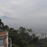
Kathmandu has changed a lot since my last visit in 1978.I find it noisy, crowded and over-developed without proper urban planning nor infrastructural development. Pollution is a serious problem and it’s no longer easy to see the beautiful surroundings mountains.
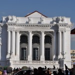
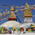
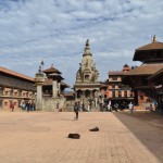
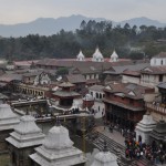
The Kathmandu Valley boosts seven sites with World Heritage status and remains a main draw. I spent the first few days visiting or revisiting these sites namely the stupas of Swayambhunath (the Monkey Temple), Boudanath (one of the largest stupas in the world), two Hindu temples (Pashupati and Changu Narayan), Kathmandu Durbar Square, Patan Durbar Square and Bkaktpur Durban Square. I enjoy the Durbar Square in Kathmandu, Patan and Bkaktpur, each with different architectural styles and atmosphere. The Patan Museum which is housed in the magnificant restored royal palace, is a must-see. It has an excellent collection of bronz, stone sculptures and woodcarving, a gilded Malla throne and archival photos with, in my view, the best illustrations in Nepal.
November 2 – 17 – 16-day EBC/Kala Pattar trek
I signed up for a classic 14-day tea-house trek to EBC beginning on November 4. As I was not sure of my physical readiness for a strenuous trek, I decided to depart earlier with a guide and would meet up with the group in Namche Bazaar on November 5.
Day 1 – Kathmandu (1300m) – Lukla (2850m) – Phakding (2610m)
Day 2 – Phakding – Monjo (2835m)
Day 3 – Monjo – Namche Bazaar (3450m)
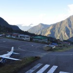
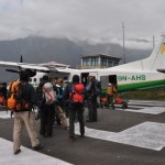
On November 2, I took the 7:30am flight to Lukla. The plane was full with over 30 passengers. This flight has been described as one of the spectacular flights in the world. If the weather is fine, passengers can see the Himalayan range on the right and the rugged foothills of Nepal below on the left. The landing at Lukla is most exciting as the runway on a slope is very short (about 60m between its lower and upper ends). Pemba, my Sherpa and a porter greeted me with a warm smile once I stepped off the tiny aircraft. 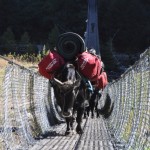
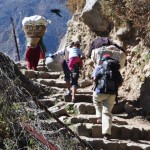
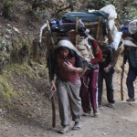
I was excited and ready for action. For the first three days, I walked for only three to four hours each day leaving plenty of time to read, write and rest! There are many picturesque small settlements along the river valley and numerous guesthouses. The volumn of traffic with hundreds of trekks and dzopkios (yak-cattle crossbreed) and porters took me by surprise. I started to have problems with my throat and coughed a lot as a result of the dusty environment.
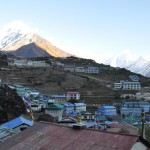
On Day 3, I entred the Sagarmatha National Park and had my first sight of Mt Everest (8848m) – the world’s highest peak on my way to Namche Bazaar. Also known as the Sherpa “capital”, Namche Bazaar is the biggest town in the Khumbu region. Trekkers can find everything: dormitories as well as comfortable hotels, cafes, bakery, a bank and numerous souvenir shops. I had a nice room with excellent views of Thamserku (6648m) and Kusum Kangu (6370m) and my first hot shower since leaving Kathmandu. I had an excellent sleep.
Day 4 – 5 – Namche Bazaar – excursion to Mt Everest View Hotel
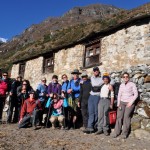
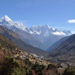 Accompanied by Pemba, I made an excursion to the Mt Everest View Hotel (3880m)in the morning for the view and met in the afternoon the guide, Sherpa Fuda and ten group members (nine from the UK and one from the US). On Day 5, Fuda arranged the group to take same excursion. Fortunately, the route is not exactly the same. I also visited a monastery, a local market and a museum which displays a lot of interesting information with photos on the Mt Everest climb.
I made a mistake and ordered some fried chicken for dinner. My problem with the throat got from bad to worse: I coughed and could hardly sleep.
When I woke up in the morning, I felt weak and exhausted owing to lack of sleep and did not think I could continue with the trek in such condition. I discussed my problem with Fuda who encouraged me to stay on for a couple more days to see whether my condition would improve. He also suggested me cover my nose and mouth to protect my throat and walk slowly.
The trek to Thame following the Bhote Koshi valley is picturesque and very pleasant without dust and few trekkers. I walked slowly and arrived at the tea-house around 1pm. After having a rest, I felt much better and joined the group to visit the house of Tenzing Norgay, first Sherpa to climb Mt Everest and walked to the Thame monastery (about 4000m). We had amazing views of Kwangde(6343m) and the whole valley. For the first time in my life, I saw blue ice on a mountain from the Thame monastery.
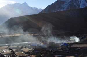
The Thame valley surrounded by high mountains is most beautiful and peaceful. I watched sunrise before breakfast. We took the same trek back but turned off about half way to walk up to Khumjung for lunch.
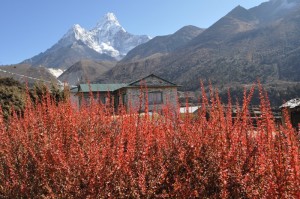
On the way to Khumjung, I had my first view of Ama Dablam (6858m), Kangtega (6685m), Lhotse (8501m) – world’s 4th highest peak and Nuptse (7861m)- world’s 20th highest peak. Khumjung has a large school build by Sir Hillary who is revered in the region.
Day 8 – Khunde – Tengboche (3875m) (6hrs)
We visited the gompa at Khumjung and saw the head of the legandary “yeti”(“man of the rocky places”) scalps in a glass box. We followed the trek to Sanasa, passing through walled fields and moss-covered rhododendron forest and dropped down to Phunki Tenga (about 3500m) located at the confluence of Dudh Koshi and Imja Khola, for lunch. Then we took a hidden trek through a lovely pine forest to reach Tengboche sited on a high saddle before 3pm. We went to the main hall of the monastery listening to the lovely chanting by the monks for some 30 minutes. One of the girl from the UK was so moved by the chanting that she cried.
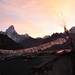
Tengboche lies on a ridge at the base of Kantega affording panoramic views of the main peaks of Khumbu including Everest, Lhoste and Ama Dablam. I got up before 6am and watched a most beautiful sunrise near the monastery.
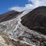
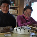
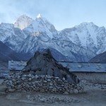
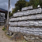
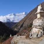 There is also a lovely bakery near the monastery runned by a young couple. The chocolate cake is delicious. The trek is nice with many photogenic spots with high peaks, gorges, walled fields and villages, chortens, mani walls and prayer flags. We had to make a final steep ascent to Dingboche which is in a stunning position surrounded once again by high peaks.
Day 10 – Dingboche – Acclimatisation/rest day
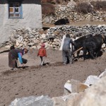 I woke up with a slight temperature and felt tired. While the group walked up to Naga Dzong Ri (5083m), I rest at the tea house and then took a short walk to Pheriche (4240m) and visited the Himalayan Rescue Association clinic staffed by volunteers from Canada. A nurse took my temperature and confirmed that I had no fever. I was relieved though I still felt tired. I returned to Dingboche and watched villagers harvesting potatoes in the walled fields. In the afternoon, we attended a lecture on AMS in the village.
Day 11 – Dingboche – Lobuche (4910m) (5hrs)
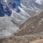 I recovered after a leisure rest day and was ready for higher altitude. We had a easy walk up a wide, grassy plateau with the peaks of Tawoche and Cholatse towering above me. At Duglha, there are a jumble of rocks which marks the terminal moraine at the base of the Khumbu glacier.
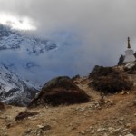
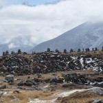
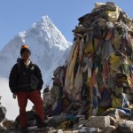
From here, there is a steep climb to reach the top where there are many memorial cairns to those who have died on Everest. I was sad to see the numerous cairns and hope those who had been passionate about Everest and have lost their life, would rest in peace. Lobuche is located in a rather featureless spot and the weather was cold, windy and bleak.
Day 12 – Lobuche – Gorak Shep (5140m) (2 hrs 30 mins) – Kala Pattar ascend (5545m) (about 2hrs)
Highlight of the EBC trek –
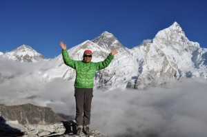
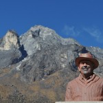
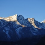
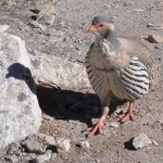
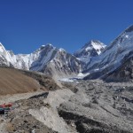
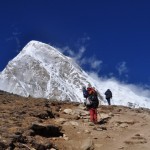
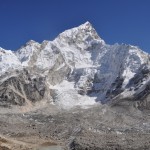
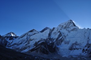
This is the big day for the Base Camp trek. We set off at 6:30am, walking along the side of the Khumbu Glacier through jumbled moraine and shattered rock. We reached Gorak Shep around 9am for brunch. We saw a few Tibetan snow cocks on the way. From Gorak Shep, it is a long and fairly arduous trek to the base camp and the group would leave around 10am. As I have problem with my knees and do not like walking on boulders, I decided to walk up to Kala Pathar with a Sherpa while the group went to the EBC.
|
|
|
Day 13 – Gorak Shep – Lobuche – Pheriche (4240m) (6hrs)
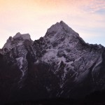
At 6am, the group headed for Kala Pathar. As I wanted to take another look at the beautiful peaks, I joined thegroup for an hour. Ater taking a few photos at a vantage point, I headed back to Gorak Shep and had a full breakfast. I descended to Lobuche with two other members and had an early lunch at Lobuche and reached Pheriche at 3pm. The walk is relatively easy. But I had an accident and fell when I was approaching Pheriche. My glasses pressed against my eyes and my right eye was badly bruised. (Fortunately, the bruise was almost gone by the end of November.)
This was the longest walk on this trek. The original plan was to pass through Pangboche and stop at Sanasa(3580m) or Kyangjuma (3600m) (about 6 hours). The group preferred a longer walk so that we could stay at the same hotel at Namche Bazaar. We had lunch at Phunki Tenga, walked uphill to Sanasa and finally reached Namche Bazaar just before 5pm. The weather was misty and grey and I did not take my camera out till we saw a big group of mountain goats. (Unfortunately, the memory card was corrupted and the pictures were gone!). I was exhausted and felt at home when I reached the same hotel in Namche Bazaar. I had a hotshower and a nice dinner.
Day 15 – Namche Bazar – Monjo (3hrs)
|
|
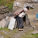 |
The day was nice and warm. I enjoyed watching the beautiful landscape and the hardworking Nepalis working in the fields. We reached Lukla around 6pm.
There was no flight between Kathmandu and Lukla from 12 to 16 November owing to poor weather condition. There was only a limited service on 17 November. A few travellers paid USD 500-600 for a seat on a helicopter flight to Kathmandu. Some 1000 travellers were said to be stranded in Lukla. I also met some frustrated trekkers at Starbucks who had been in Lukla for five days and planned to spend 3-4 days to walk to Jili in order to take a 10-hour bus ride to Kathmandu. We prayed our plane could take off the following morning.
November 18 – Lukla – Kathmandu
Our flight was scheduled for 9am. We got up at 5am and were anxious as the weather remained uncertain and cloudy. There was no firm news on whether our plane would arrive as scheduled. Shortly after 9am, Fuda confirmed that our plane had left the Kathmandu airport and we should be able to leave Lukla.
The weather improved and a few planes took off without delay. We boarded our 12-seater plane as soon as it landed in the runway around 10 am and we were up in the air by 10:15am! The whole scene was like a war-time episode when people ran for their life and tried to get on the last plane! We arrived in Kathmandu safe and sound around 11am. I had a leisure day resting in the hotel reflecting on the wonderful time in the mountain.
November 19 – Leisure day in Kathmandu (End of Part I)

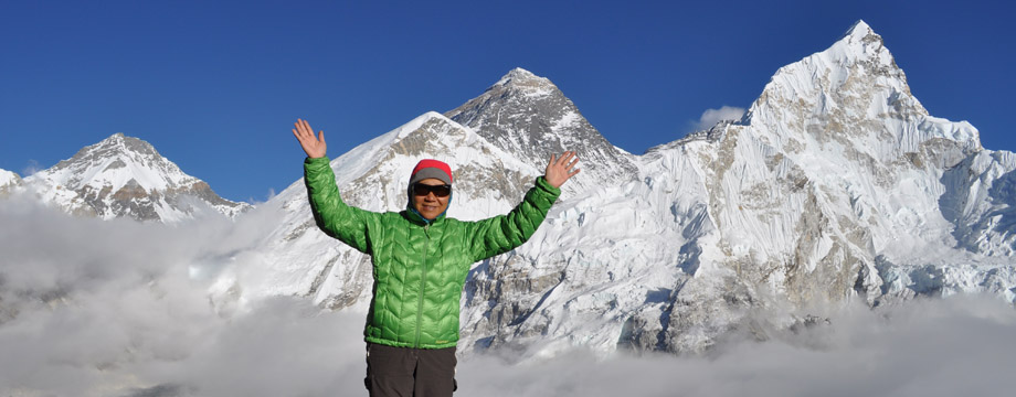
Good job Sarah!!! hahaha!!^^
Hi Sarah:
Have been thinking about you! We know you must be somewhere in the those exotic countries. I manage to go on your website because today is our holiday August 1. Of course I like all your photos. I like your introduction of yourself. I feel like going back your youthful days. Take good care of yourself. You look really good fit. That’s great!
Paulina
Great achievement! Going up to the thin air is really tough and you made it. Congratulation!
Will you also share with us how the Nepali live now after changing from a Kingdom to a Republic?